We collaborated with OceanX to produce a digital twin of the marine world, utilising advanced data visualisation techniques to provide an experience that enables scientists and researchers to explore data in an engaging and innovative way.
Emulating a deep-sea dive in the OceanXplorer submersible, the project allows the user to discover the biodiversity of the ocean in correlation with data collected across OceanX’ missions. Using realtime 3D techniques (rendered in Unity), the ROV follows an animated trail, visualising the collection of data across time and space in an exploration-based virtual environment.
This project aims to provide scientists and researchers with a legible way to process, understand and experience data. Here, we have employed our expertise in software to show our commitment to our client’s vision – allowing the user to probe deeper below the surface and discover vital insights into ocean biodiversity and marine conservation.
Designed for interactive and demonstrative experiences, the project meets both the client’s immediate needs whilst enabling a platform for future education and learning.
Development
We corresponded with our client throughout the process, regularly exchanging data to ensure the project is accurate and insightful. We used data processing software to map out the findings, comparing and joining information to generate precise 3D models in Unity.
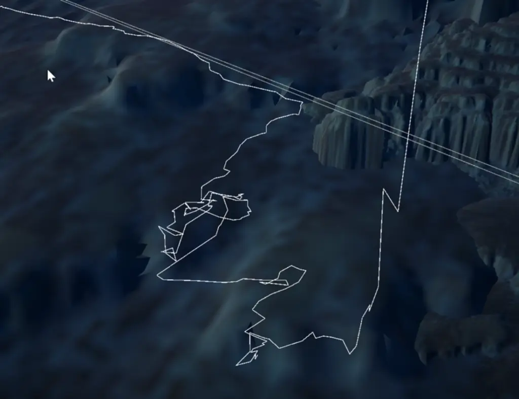
We started by processing the data for the path of the dive, using material collected from sonar systems to begin mapping the virtual environment in accordance with underwater topography data. This allowed us to render the terrain imagery. After this, we looked at OceanX ROV blueprints to design an accurate 3D model, complete with labelled components.
This allows the project to display findings from the dive in realtime, as the sub progresses along the path. Here, AI allows for the taxonomic identification of marine species by using water column properties of the area (e.g., depth, temperature and pressure), which we have represented with wire boxes to show points of interaction and discovery.
Evaluation
The project opens a space for meaningful collaboration between science, research and software. Through the creation of a digital twin, it allows for effective and engaging ways to learn about the environment, revolutionizing research as immersive and accessible. We aim to develop the tools to make data analysis more efficient, whilst creating opportunities for education and conservation of both physical and virtual environments.